Street-View Measures of Urban Greenness, Area-Level Deprivation, and the Risk of Firearm-Related Homicide: A Matched Case-Control Study
Abstract
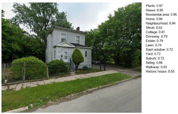
This study examined how pedestrian-level green space relates to firearm-related and natural deaths in Cook County, Illinois, using a matched case-control design. Various greenness measures, including street-view green imagery, tree canopy coverage, and green space along walkable streets, were inversely associated with firearm homicide risk. Protective effects of tree canopy and localized greenery were stronger in less deprived neighborhoods, while neighborhood racial composition influenced the relationship between park proximity and homicide risk. Overall, street-level green space is linked to lower homicide odds and may offer greater protection in vulnerable communities.
Plain-Language Summary
This study examined how pedestrian-level green space relates to firearm-related and natural deaths in Cook County, Illinois, using a matched case-control design. Various greenness measures, including street-view green imagery, tree canopy coverage, and green space along walkable streets, were inversely associated with firearm homicide risk. Protective effects of tree canopy and localized greenery were stronger in less deprived neighborhoods, while neighborhood racial composition influenced the relationship between park proximity and homicide risk. Overall, street-level green space is linked to lower homicide odds and may offer greater protection in vulnerable communities.

Dr. Gia Elise Barboza-Salerno
Director
I am an interdisciplinary scholar whose research integrates law, public health, social work, and advanced statistics to study childhood adversity, violence-related harm, and neighborhood-level inequities. I lead the ISSUES Lab at Ohio State, translating spatial and legal analysis into policy and practice.

Taylor Harrington
PhD Candidate, Methodologist
Taylor Harrington, MS, is a PhD candidate in Public Health at The Ohio State University. To investigate how multi-level factors shape health behaviors and outcomes, she integrates advanced computational and geospatial methods, including machine learning (e.g., computer vision, random forests, structured topic modeling, text mining) and geospatial modeling (e.g., Bayesian spatial modeling, remote sensing). Through this work, she aims to generate actionable evidence to inform equitable health policy and community-level interventions.