Investigating Spatial Structures in Urban Environments (ISSUES)
Translating structural inequality into social and legal policy
The Ohio State University
About us
The ISSUES Lab is a transdisciplinary research group that applies advanced spatial statistics, geospatial artificial intelligence (GeoAI), and machine learning to understand how neighborhood environments shape health, safety, and social well-being. By integrating large-scale administrative, environmental, health, and geospatial datasets, we generate evidence that informs public health policy, legal decision-making, and community interventions.
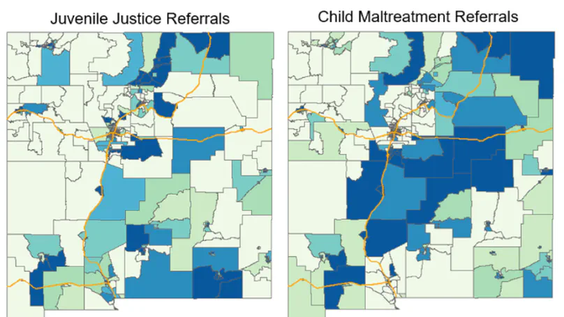
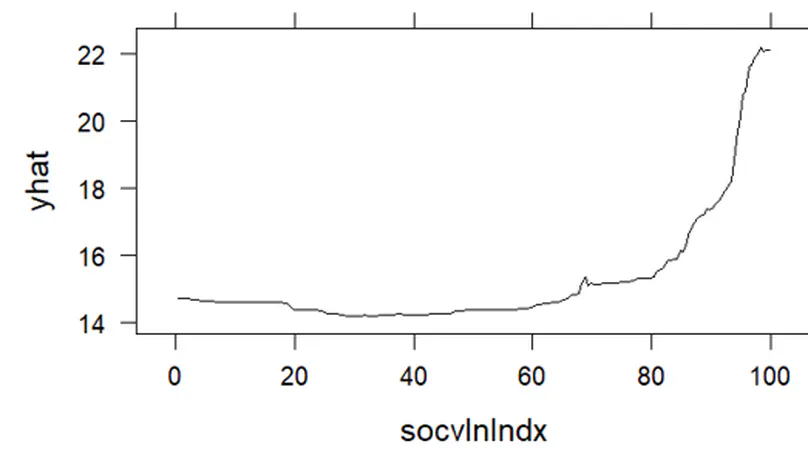
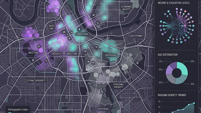
Our research is grounded in the recognition that where people live fundamentally influences health and opportunity. We investigate how structural and environmental conditions—including neighborhood deprivation, environmental hazards, housing instability, land use, transportation access, climate-related risks, surveillance, and the built environment—contribute to health disparities and involvement with child welfare, healthcare, and the justice system. Using advanced analytical approaches, including Bayesian spatial modeling, multilevel modeling, spatial epidemiology, geospatial machine learning, and foundation models for satellite imagery, we identify geographic patterns of risk and resilience across communities.
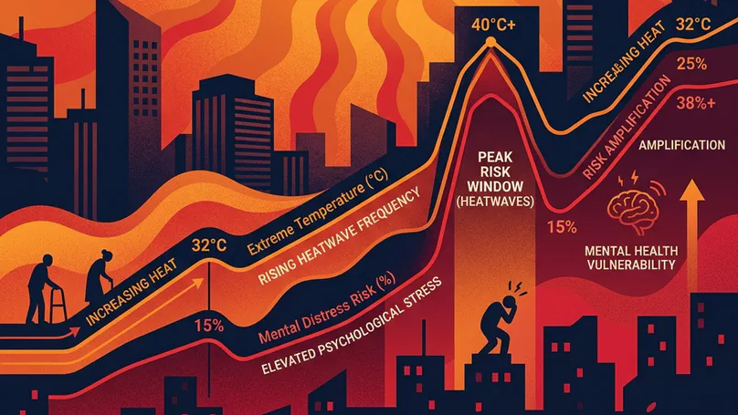
Our work spans environmental justice, housing justice, child and family well-being, injury and violence prevention, mental health, and climate-related health inequities. We translate complex spatial data into actionable evidence for policymakers, public health practitioners, attorneys, judges, and community organizations, developing data-driven strategies that promote healthier, safer, and more equitable communities.
We are a multidisciplinary team of scholar/activists from diverse disciplines with a shared research goal of strengthening families by highlighting their assets while addressing barriers to health. Each individual has a bio page that can be accessed here.
We are proudly based at the Colleges of Social Work and Public Health at the The Ohio State University, a leading global university in the state of Ohio, USA.
In the News




Featured publications
For the full list of publications see here.
Presentations
Updates from our group

Recent & Upcoming Talks


People
Faculty

Dr. Gia Elise Barboza-Salerno
Director
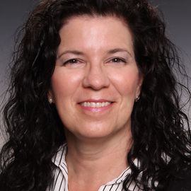
Dr. Karla Shockley McCarthy
Co-Director
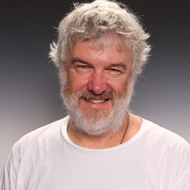
Dr. Keith Warren
Faculty Affiliate
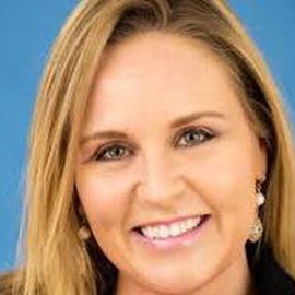
Dr. Henriikka Weir
Faculty Affiliate
Graduate Students
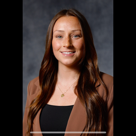
Taylor Harrington
PhD Candidate, Methodologist
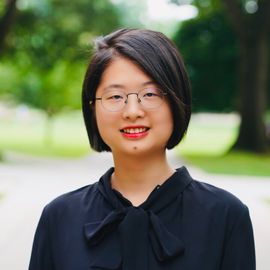
Hexin Yang
PhD Candidate, Methodologist
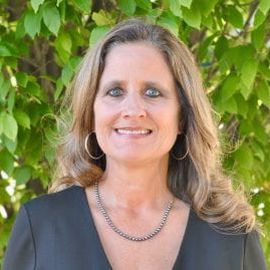
Dr. Amy Watson-Grace
PhD Candidate, Methodologist

Esenia Cassidy
PhD Student, Graduate Research Assistant
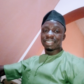
Olorede Abdulgafar A.
Graduate Research Assistant

Randi Ellis
Graduate Research Assistant
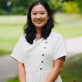
Yunzi Yu
PhD Student

Bruna Atalaya
PhD student
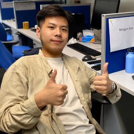
Mingjun Gao
PhD Student, Graduate Research Assistant

Kaleb Masterson
Graduate Research Assistant
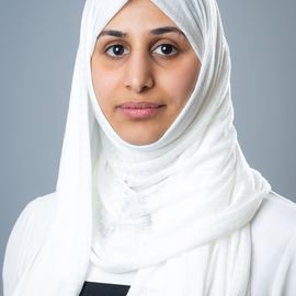
Zahra Alhajjaj
PhD Candidate, Graduate Research Assistant
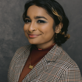
Ray Mathew-Santhosham
Graduate Research Assistant
Undergraduates
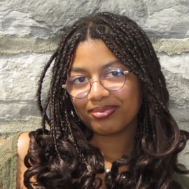
Olivia McLucas
Undergraduate Research Assistant
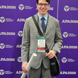
Malcolm McCarthy
Undergraduate Geospatial Analyst

Nicolette Peremen
Undergraduate Research Assistant and Writer
Clare Dolan
Undergraduate Research Assistant
Contact
- barboza-salerno.1@osu.edu
- 1947 College Road, Columbus, Ohio 43017
- X